History
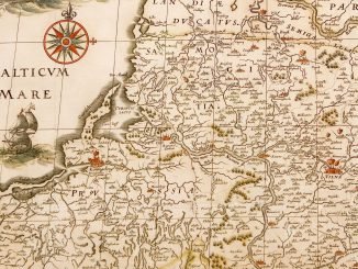
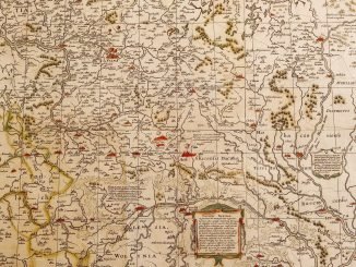
Cartography of a private domain: the 1645 map of the Duchy of Biržai
European cartography experienced a considerable rise in the 16th and the first half of the 17th century when maps became a practical necessity. Their importance rose in Lithuania too as people required more precise pictures of different localities due to intensifying economic ties with Europe, military conflicts and local land and administrative reforms. This is how the view of southern Lithuania emerged in 1559 according to the description of forests by Grigalius Valavičius. […]